Welcome to CatchIS

Ground water pesticides
Protecting the ground water abstraction sources
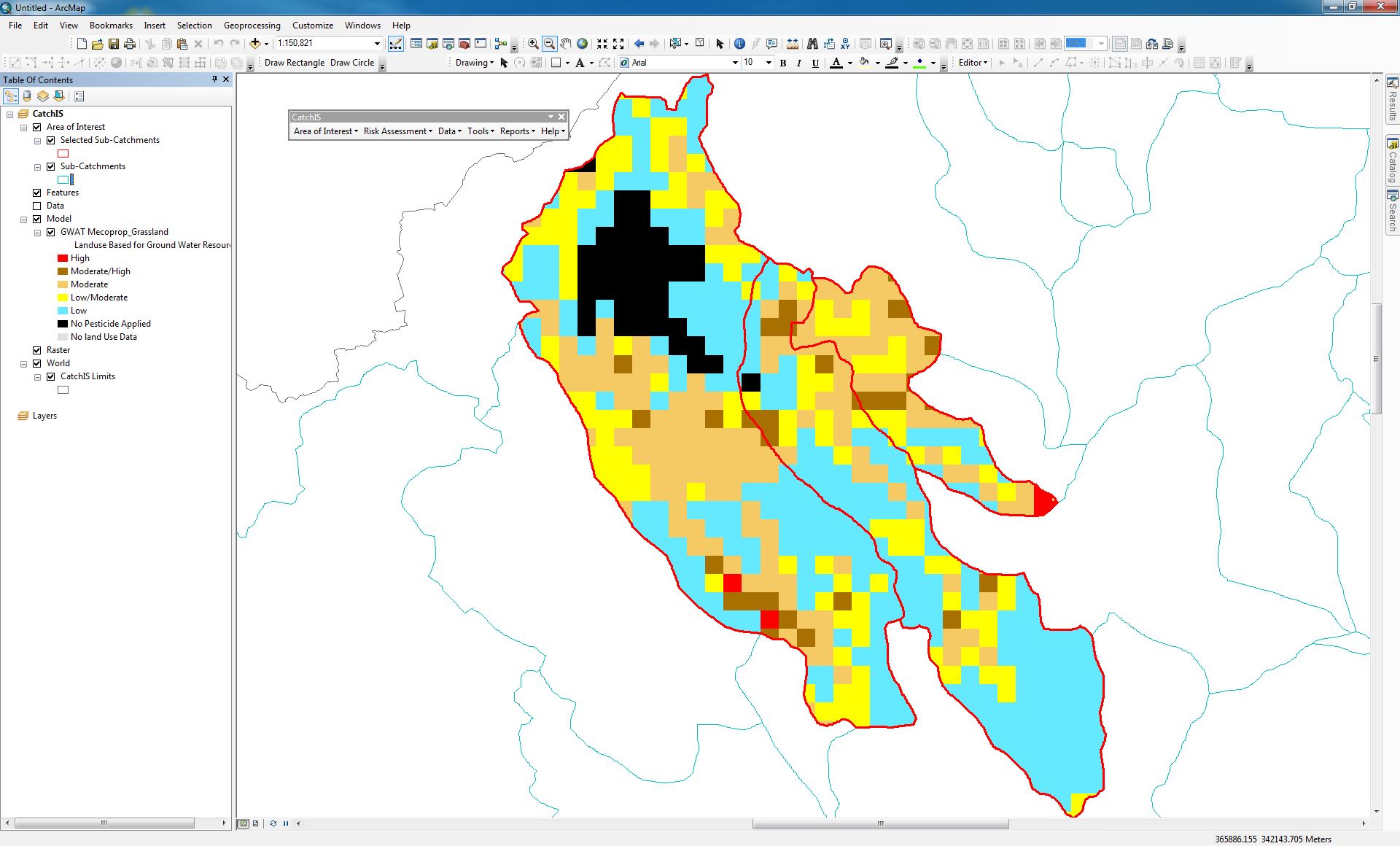
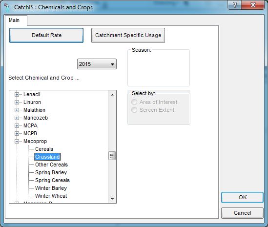
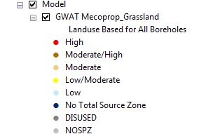
The pesticide groundwater model, GWAT, predicts concentrations of pesticides impacting on abstraction boreholes following use of a specific compound on a specific crop. Results are presented as a 'risk assessment' based on the likelihood of concentrations being above 0.1 µg l-1, taking into account variability in pesticide characteristics and the spatial distribution of soils and crops across the source protection zone.
Ground water hotspots
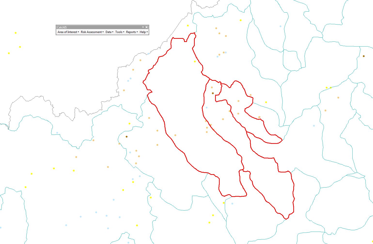
Identification of spatial risk
The ground water hotspots model allows you to identify hotspots within any Area Of Interest (AOI), which are particularly vulnerable to use of a particular compound on a specific crop. The model integrates predicted volumes of recharge and masses of compound leached (based on the targetcrop cover data from EDL) within a 2 km x 2 km grid and presents the results across the AOI.