Welcome to CatchIS

Virtual Session
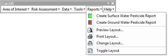
Reports
CatchIS reporting capabilities
CatchIS contains a range of powerful reporting tools.
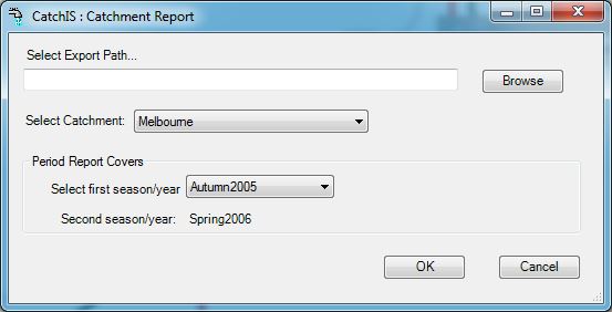
The surface water and ground water report options generates a report in Microsoft's word and as a pdf file for the selected catchment or source protection zone uisng ADAS's Pesticide usage data for the Spring and Autumn seasons selected.
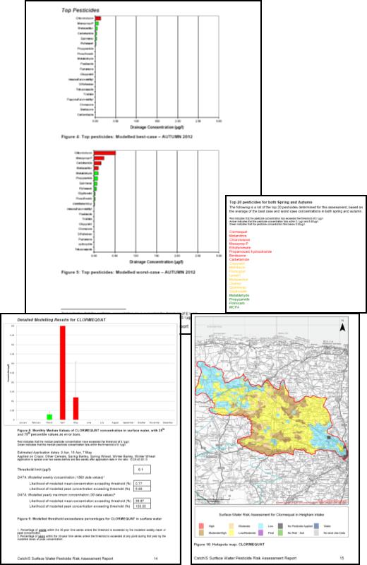
The report shows the top pesticides for both spring and autumn, and the provides more detailed model outputs for up to 5 high risk pesticides. Alongside the report, the option generates time series threshold Excel spreadsheets, gis layers and hotspots map images for the selected pesticides in the catchment.