Welcome to CatchIS

Virtual session
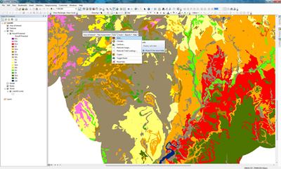
Take a virtual tour of CatchIS
CatchIS is based on over 20 years research & development at Cranfield University and is used widely by industry and regulator alike. These pages provide an idea of how the CatchIS software tool operates in use:
System framework
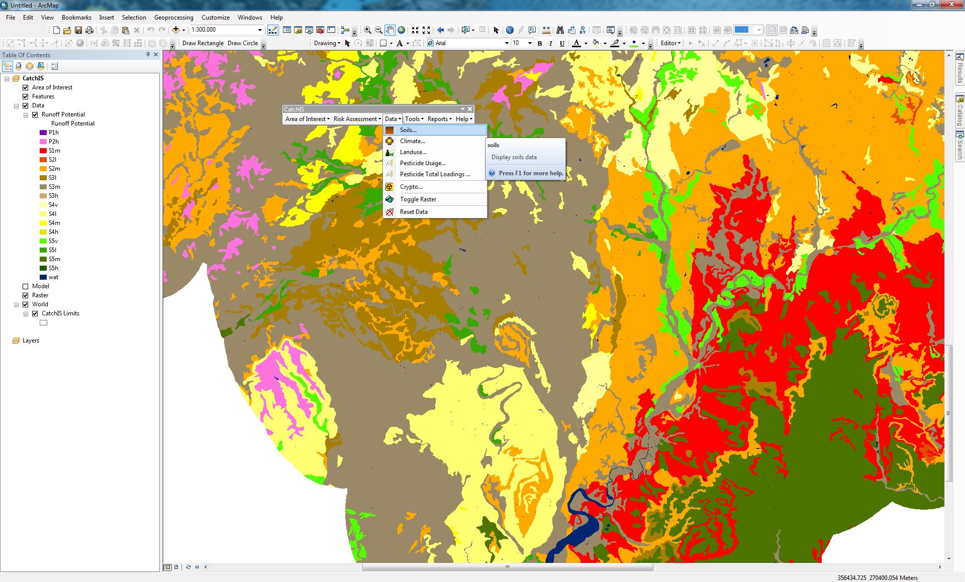
The CatchIS platform
CatchIS is a modern software tool which operates under the Microsoft Windows operating system, working well on a laptop or deskside PC. The application is centred around the industry-standard ESRI ArcGIS tool. CatchIS also utilises Microsoft Excel to manage certain of the graphs and datasets it produces and exports.
CatchIS summary
CatchIS in use
CatchIS provides a powerful suite of tools and models to assist in the strategic and operational management of water resources at the catchment scale, and to provide an informed and rational response to the Water Framework Directive and to the development of Water Safetey Plans. The capabilities of CatchIS can assist in understanding and characterising catchment risks, as well as in developing strategies for mitigating these risks, such as alternative application regimes. CatchIS can also assist in managing the environmental risk to buried infrastructure and assets, playing a key role in the Asset Management Planning (AMP) cycle. Overall CatchIS provides a set of functionality which maximises the organisational investment in the unique suite of environmental datasets offered by Cranfield University and its partners.